Sundaland
The Drowned Continent Beneath Southeast Asia
The Lost Landmass
“During the last Ice Age, the shallow seas of Southeast Asia were dry land — a continent-sized landmass with great rivers, tropical forests, and a climate ideal for early civilization. When the glaciers melted, it drowned. We have been looking for the cradle of civilization in the wrong place.”
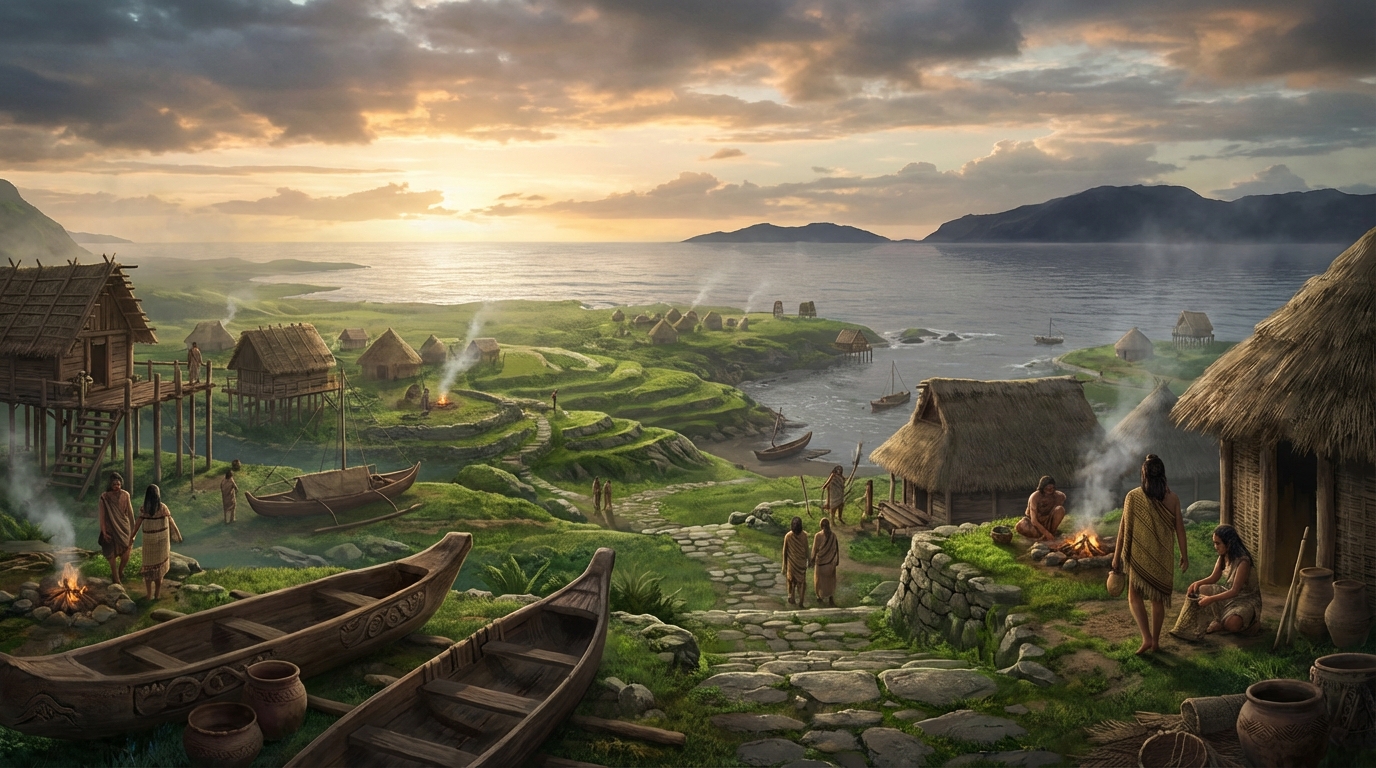
— Stephen Oppenheimer, Eden in the East: The Drowned Continent of Southeast Asia, 1998During the Last Glacial Maximum, roughly 26,000 to 19,000 years ago, so much of the Earth’s water was locked in ice sheets that global sea levels were approximately 120 meters lower than they are today. In Southeast Asia, this exposed a vast continental shelf — the Sunda Shelf — that connected the Malay Peninsula, Sumatra, Java, and Borneo into a single continuous landmass. This was Sundaland: a tropical subcontinent larger than the Indian subcontinent, threaded with river systems, covered in lush forest, and positioned along the equator in conditions almost perfectly suited for human habitation and early agriculture. And it is now entirely underwater.
The Genetic Trail
“The genetic evidence points to Southeast Asia as a major center of population dispersal. Mitochondrial DNA lineages suggest that waves of migration moved outward from this region — westward to India, northward to China, and eastward to the Pacific — at precisely the times when rising seas were consuming the Sunda Shelf.”
— Stephen Oppenheimer, Eden in the East, 1998In 1998, Oxford geneticist and historian Stephen Oppenheimer published Eden in the East, a book that assembled genetic, linguistic, mythological, and geological evidence to argue that Sundaland was not merely a habitable landmass but a cradle of early civilization — one whose drowning triggered the diaspora that seeded cultures across Asia, Oceania, and beyond. The genetic evidence is particularly compelling. Studies of mitochondrial DNA and Y-chromosome markers show deep lineages in Southeast Asian populations, with dispersal patterns that radiate outward from the region beginning around 18,000 years ago — precisely when rising seas began to consume the Sunda Shelf.
The Memories That Survived
“At least 21 Aboriginal Australian oral traditions describe a time when the sea was lower, when people walked to islands that are now separated by deep water, when the coastline was far from where it is today. These are not vague myths. They contain specific geographic details that match the known topography of the now-submerged continental shelf.”
— Patrick Nunn & Nicholas Reid, “Aboriginal Memories of Inundation of the Australian Coast,” Australian Geographer, 2015Perhaps the most remarkable evidence for the reality of Sundaland as a lived landscape comes not from geology or genetics but from memory. In 2015, linguist Nicholas Reid and geographer Patrick Nunn published a landmark study documenting at least 21 Aboriginal Australian oral traditions that accurately describe coastal geography from a time when sea levels were significantly lower — some traditions preserving memories of landscapes that were submerged 7,000 to 10,000 years ago. These are not metaphorical stories. They describe specific bays, islands, and landmarks that match the topography of the now-submerged continental shelf. If oral tradition can preserve accurate geographic information across 300 generations in Australia, what might similar traditions in Southeast Asia be remembering?
The scale of what was lost is difficult to comprehend. Imagine a landmass roughly 1.8 million square kilometers in extent — equivalent to the combined area of France, Germany, Spain, and Italy — positioned across the equator, watered by great rivers (the extensions of today’s Mekong, Chao Phraya, and Sunda rivers), covered in tropical forest, and home to some of the richest biodiversity on the planet. This was not marginal land. This was prime real estate for human civilization: stable temperatures, abundant freshwater, year-round growing seasons, and access to both terrestrial and marine resources. If early humans were going to develop complex societies anywhere, Sundaland would have been near the top of the list.
The drowning was not a single catastrophic event. It happened in pulses — episodes of rapid sea level rise called meltwater pulses, interspersed with periods of relative stability. The most dramatic of these, Meltwater Pulse 1A around 14,600 years ago, raised global sea levels by approximately 20 meters in less than 500 years. For the inhabitants of Sundaland’s coastal plains, this would have been a slow-motion catastrophe: the sea advancing inland by kilometers per generation, swallowing villages, forests, and river valleys. The final major pulse, around 8,000–5,000 years ago, completed the transformation, separating the islands of Indonesia and submerging the last of the Sunda Shelf beneath the shallow seas we see today.
Oppenheimer’s thesis goes further than simple geography. He argues that the flood myths found in cultures throughout Asia and the Pacific — stories of a great inundation, of lands lost beneath the waves, of survivors who carried knowledge to new shores — are not myth at all but memory. Memory of Sundaland’s drowning. He traces the dispersal of specific mythological motifs, agricultural techniques, and linguistic roots outward from Southeast Asia, arguing that the diaspora from the sinking Sunda Shelf carried the seeds of civilization to India, Mesopotamia, Egypt, and beyond. It is a bold claim, and not all of it has withstood scrutiny. But the core observation is difficult to dispute: a continent-sized landmass, inhabited by humans for tens of thousands of years, disappeared beneath the waves — and we have barely begun to investigate what it left behind.
Modern bathymetric surveys of the Sunda Shelf reveal the ghost topography of a drowned world: river channels still visible on the seabed, former coastlines traceable through sediment analysis, submerged caves and rock formations that once stood above water. But underwater archaeology in Southeast Asian waters remains in its infancy. The combination of shallow depth, poor visibility, strong currents, and the sheer extent of the submerged shelf makes systematic survey extraordinarily difficult. What lies beneath those waters — whether it is simply the natural landscape of a vanished world or something more, something built — remains almost entirely unknown.
The question Sundaland poses is not whether it existed. The geology is settled. The question is what happened there during the 50,000 or more years that anatomically modern humans lived on its shores. We know that the earliest sea crossings in human history — the colonization of Australia at least 65,000 years ago — required navigating the waters around Sundaland. We know that the region shows some of the earliest evidence for cave art, for shell tools, for maritime adaptation. We know that when the land finally drowned, its people went somewhere — and brought their knowledge with them. What we do not know, and what the seabed has not yet revealed, is how much of human history is buried beneath those warm, shallow seas. The cradle might be underwater. And we have not yet learned to look.
Sources & Further Reading
- Stephen Oppenheimer — Eden in the East: The Drowned Continent of Southeast Asia (1998)
- Nunn & Reid — “Aboriginal Memories of Inundation of the Australian Coast,” Australian Geographer (2015)
- Solheim — Archaeology and Culture in Southeast Asia: Unraveling the Nusantao (2006)
- Voris — “Maps of Pleistocene sea levels in Southeast Asia,” Journal of Biogeography (2000)
- Bird et al. — “Palaeogeography and voyage modeling of the Sunda Shelf,” Journal of Human Evolution (2019) — see also Sundaland (Wikipedia)